


Credit: NASA/JPL-Caltech

When did OSTM launch?
June 20, 2008
Where is OSTM?
830 miles (1,336 km) from Earth
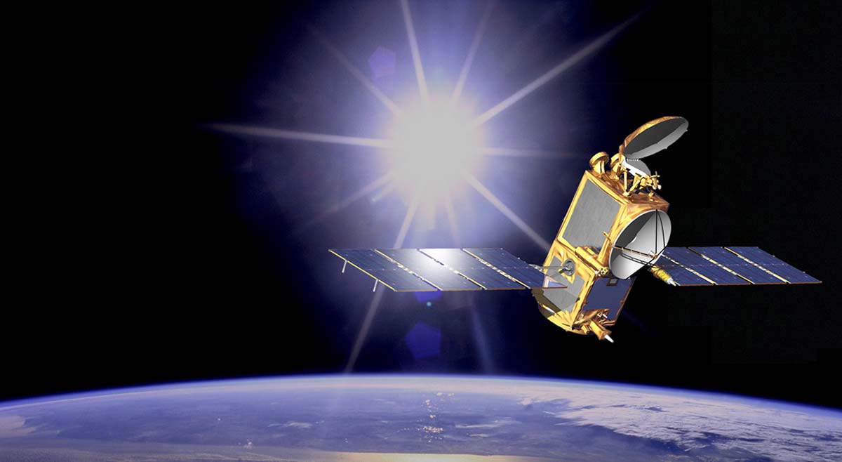
What does OSTM do?
The OSTM (Ocean Surface Topography Mission) on the Jason-2 satellite helps to measure ocean height by bouncing microwave pulses off of Earth and timing them. This allows scientists to keep an eye on sea-level rise. OSTM also watches how the ocean stores and transports heat. OSTM helps us understand climate change and forecast hurricanes or other weather events.
Learn more about NASA’s OSTM.


