


Credit: NASA's Goddard Space Flight Center

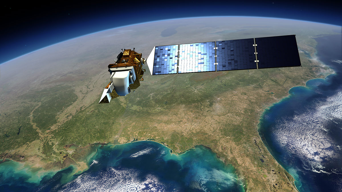
The NASA-USGS Landsat program provides the longest continuous space-based record of Earth’s land. Landsat satellites provide essential information about land surfaces to help scientists detect and monitor melting glaciers, urban growth, natural disasters such as floods and droughts, as well as changes in farms and forests. This information is useful to land managers and policy makers who make decisions about our resources and our environment.
Currently, there are three Landsat satellites in space. Landsat 8 and Landsat 9 are flying over Earth at the altitude of 438 miles (705 km). Landsat 7 is flying over Earth at an altitude of 433 miles (697 km).
Landsat 7 (launched April 15, 1999)
Learn more about Landsat 7.
Landsat 8 (launched February 11, 2013)
Learn more about Landsat 8.
Landsat 9 (launched September 27, 2021)
Learn more about Landsat 9.
For more information about the Landsat program, visit https://science.nasa.gov/mission/landsat/


