


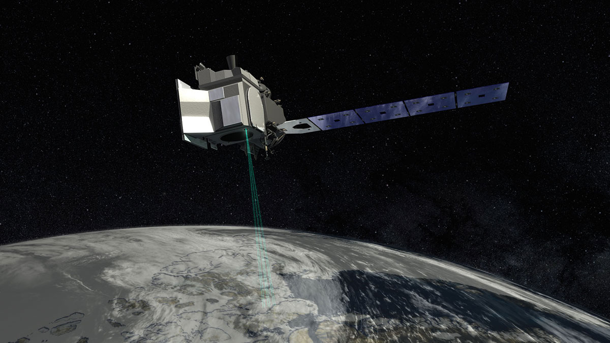
Credit: NASA’s Goddard Space Flight Center
When did ICESat-2 launch?
September 15, 2018
Where is ICESat-2?
300 miles (483 km) above Earth
What does ICESat-2 do?
The Ice, Cloud and land Elevation Satellite-2 (ICESat-2) mission will measure the thickness of ice sheets and sea ice, and tree canopy heights. These measurements will help us to monitor changes in ice in the polar oceans as well as on Greenland and Antarctica. It can also estimate the total amount of plants, or vegetation, on Earth.
Learn more about NASA’s ICESat-2.


